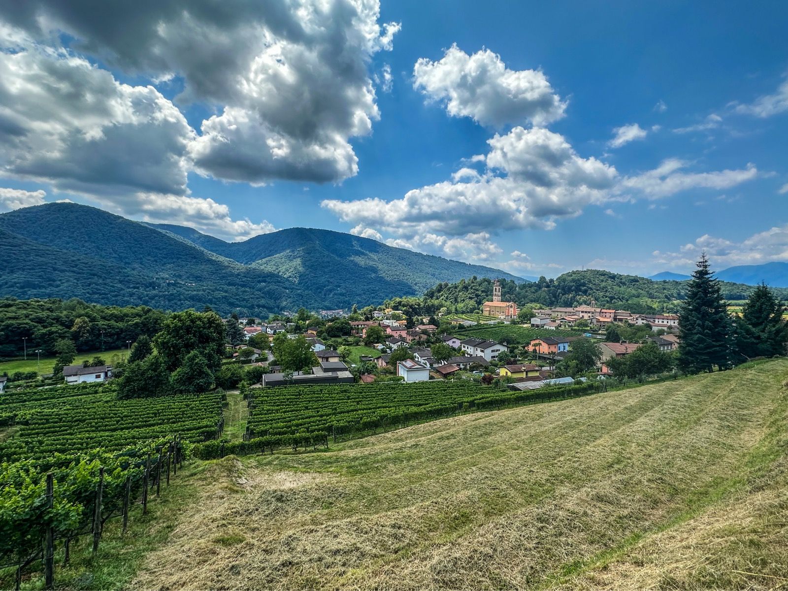
The Malcantone Tour is a cycling itinerary that crosses one of the most fascinating and wild areas of the Lugano province: Malcantone. This hilly region, characterized by woods, forests, and narrow roads on the slopes of Monte Lema, offers an immersive and panoramic experience, ideal for those seeking tranquility and nature. Approximately 80 km long and with 1,100 m of elevation gain, the tour is perfect for cyclists with a good level of fitness looking for a longer and more scenic ride. Maintaining a steady pace and including several stops, it can be completed in 3.5 hours or in half a day.
Starting point & access
The loop begins and ends in Mendrisio, at Ciclosprint, a popular meeting point for cyclists and a bike shop located next to the Mendrisio San Martino train station. The route can be started from any point, but for convenience, we've chosen Mendrisio as the starting point. The starting point is easy to reach: By train, including international connections; By car, with several public parking lots and multi-storey car parks within a 1 km radius. This makes the tour particularly convenient for visitors coming from Lugano, the Mendrisiotto area, or northern Italy.
Route description
From Mendrisio, cycle towards the Italian border, along the left shore of Lake Lugano to Porto Ceresio. The route continues into Italy and then re-enters Switzerland at Ponte Tresa. From here, turn left towards Molinazzo, where you take the climb to the right that leads to Sessa. The village offers a fountain and a small supermarket, perfect for a short break. Continue towards Astano and then Novaggio, along a hilly stretch, before reaching the slight slope that leads to Miglieglia, the starting point of the Monte Lema cable car. The route maintains a rolling profile until reaching Cademario, where the long descent to Bioggio begins. From Bioggio, you can easily return to Mendrisio via Lugano.